
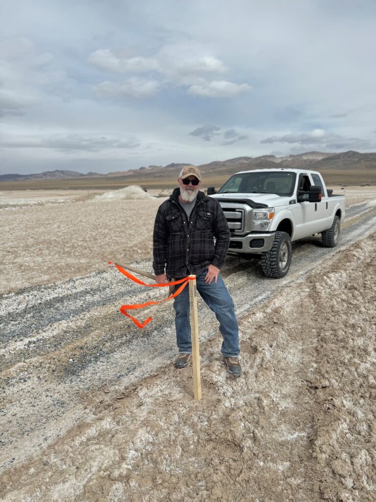
Photo: Canter’s Senior Geologist, Trevor Hawkins, staking a Geoprobe collar at Columbus Lithium-Boron Project.
Canter Resources Corp. is pleased to report that, after interpreting recently acquired third party data and completing 3D modeling, the company’s technical team immediately mobilized to site to stake the limited open ground along the western edge of the Columbus Lithium-Boron Project
The full surface sampling dataset, includes highly anomalous lithium values along the company’s previous western boundary and beyond. Furthermore, the company’s 3D modeling, and particularly the HSAMT resistivity shells, highlighted a broadening and open-ended conductive zone trending west with only two kilometres to the limits of the company’s previous property boundary. The land package now stands at a commanding 29,600 acres (119 km²).
“We are thrilled to have significantly expanded our land package at Columbus to encompass the full extent of the most prospective ground for lithium-enriched brines before commencing our drill campaigns,” stated Joness Lang, CEO of Canter Resources. “Our team sees tremendous potential at Columbus and we are excited to get underway with Geoprobe drilling, which will commence imminently.”
The 3D modeling has been instrumental in revealing the expansive potential within the Columbus Project area. By carefully analyzing the geological structures and resistivity patterns, the company has identified a westward-trending conductive zone that signifies a broadening corridor of potential lithium-bearing brines. This insight is critical, as it suggests a continuous zone extending beyond the original property boundaries.
Moreover, the HSAMT data has been pivotal in understanding the subsurface characteristics of the Project area. The HSAMT survey’s leading edge terminated within an area exhibiting extremely low resistivity, indicative of highly conductive material likely associated with brine concentrations. This cutoff, due to the survey reaching its westernmost extent, aligned with the trend of anomalous lithium values in surface sediments extending westward. This discovery underpins the decision to expand the land package, thereby increasing the scope for further exploration and potential resource identification.